


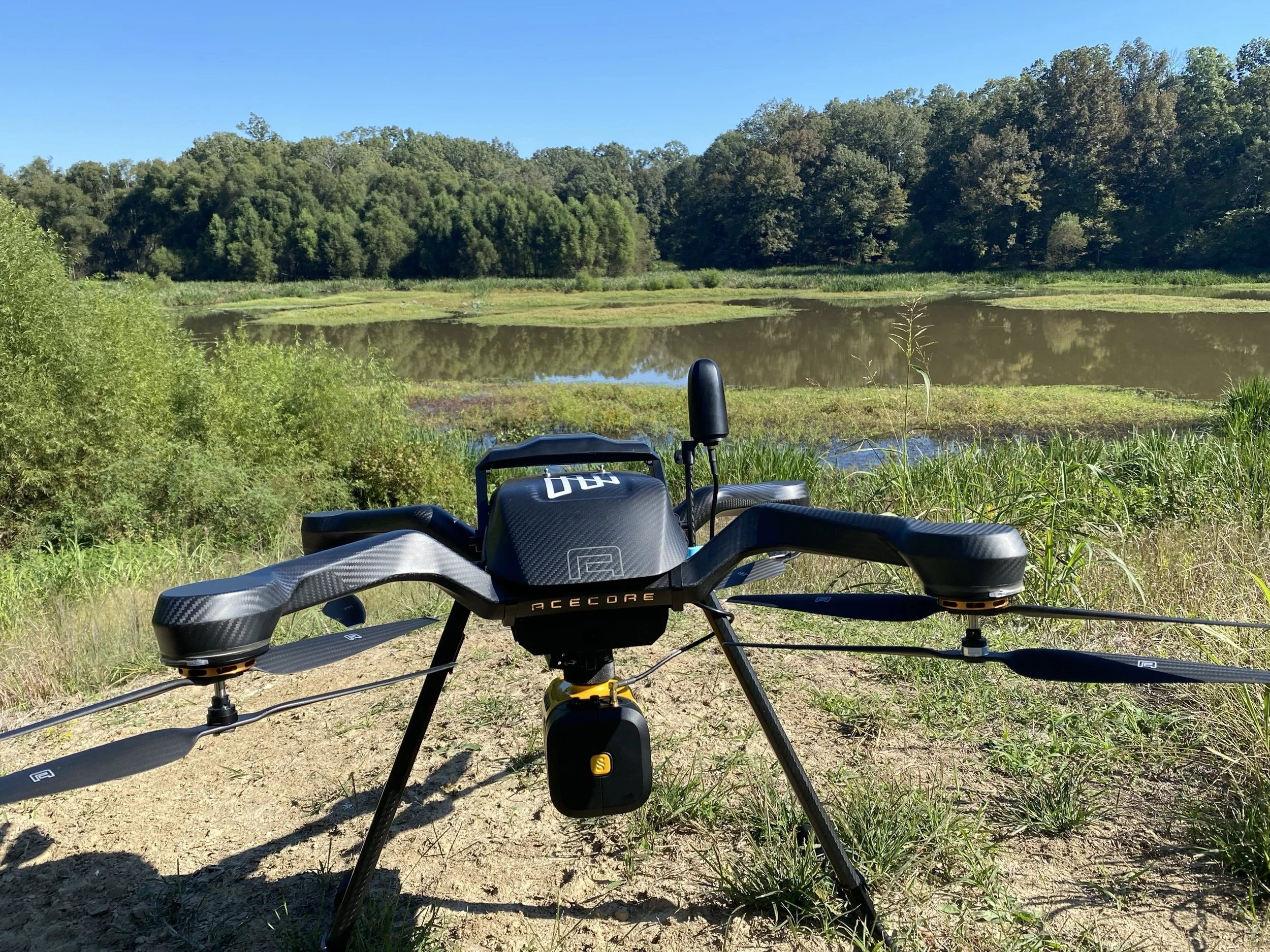

Unlocking the Mysteries of Montane Bogs: NewWave and Aero Velocity's Partnership with the US Forest Service
Montane bogs, with their unique ecosystems and vital contributions to biodiversity and water management, have long intrigued scientists and conservationists. Yet, their remote locations and sensitive environments pose significant challenges for traditional surveying methods. Recognizing the need for innovative approaches, NewWave (a Business Services company specializing in data management and IT solutions) in partnership with Aero Velocity has joined forces with the US Forest Service to deploy advanced drone technology, revolutionizing how these critical habitats are studied and preserved.

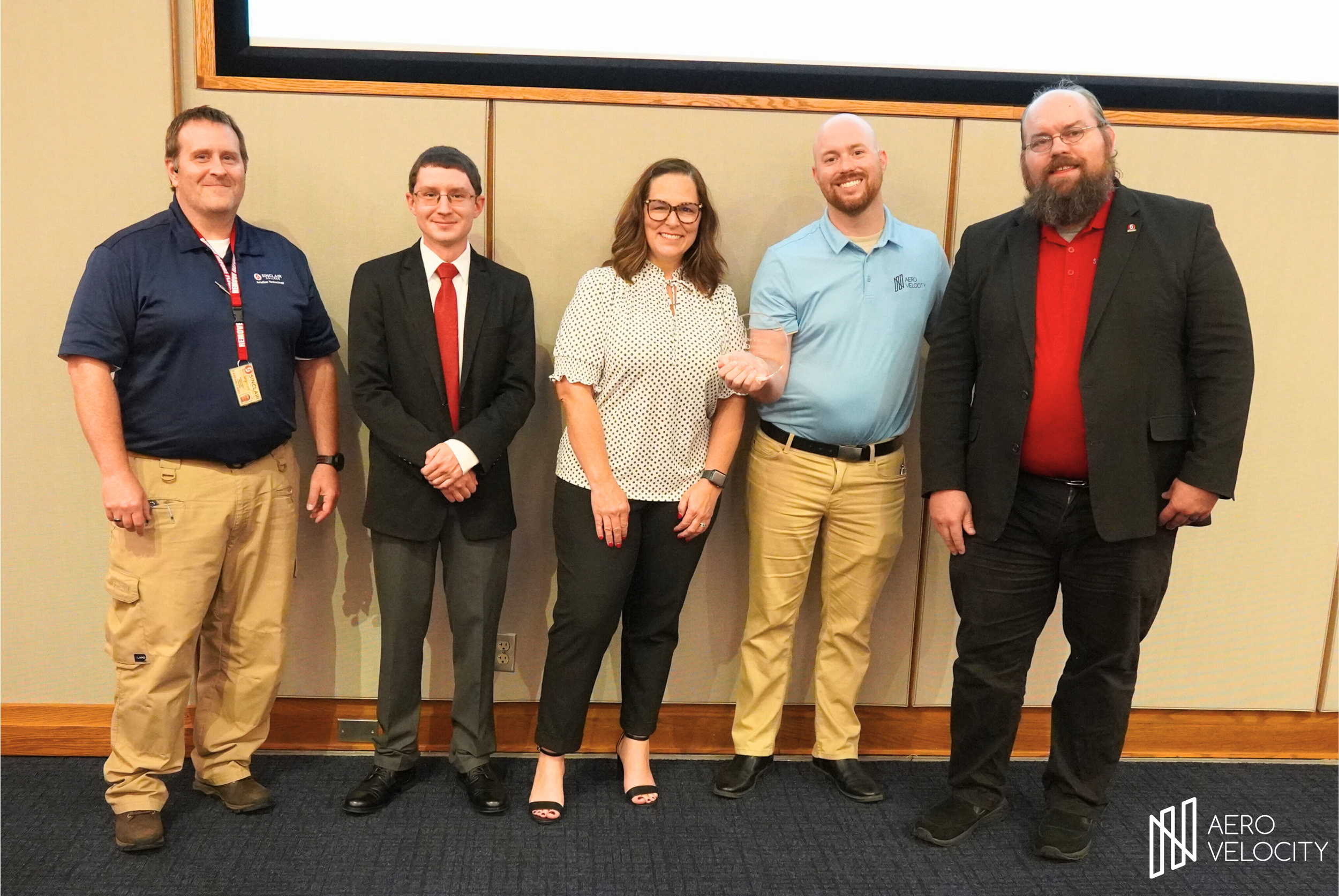
Advancing Drone Education: Insights from Tommy Sunderhaus on UAS Training, Industry Trends, and Innovation with Sinclair College
The drone industry is evolving at an incredible pace, and education plays a crucial role in preparing the next generation of professionals. In a recent conversation with Tommy Sunderhaus, UAS Program Coordinator at Sinclair College, we explored how Sinclair is leading the way in drone education, industry trends, and the exciting opportunities available to students.
Sinclair’s UAS Program: Preparing Students for the Future
Sinclair College has established itself as a premier institution for drone education, offering short-term certificates, associate’s degrees, and even a bachelor’s degree in UAS. With a focus on hands-on training, Sinclair ensures that students are equipped with the knowledge and skills needed for the rapidly growing drone industry.
The program covers a wide range of topics, including photogrammetry, thermal imaging, LiDAR, multispectral imaging, and drone maintenance. The college also partners with industry leaders like Aero Velocity to provide internship opportunities, giving students real-world experience before they graduate.

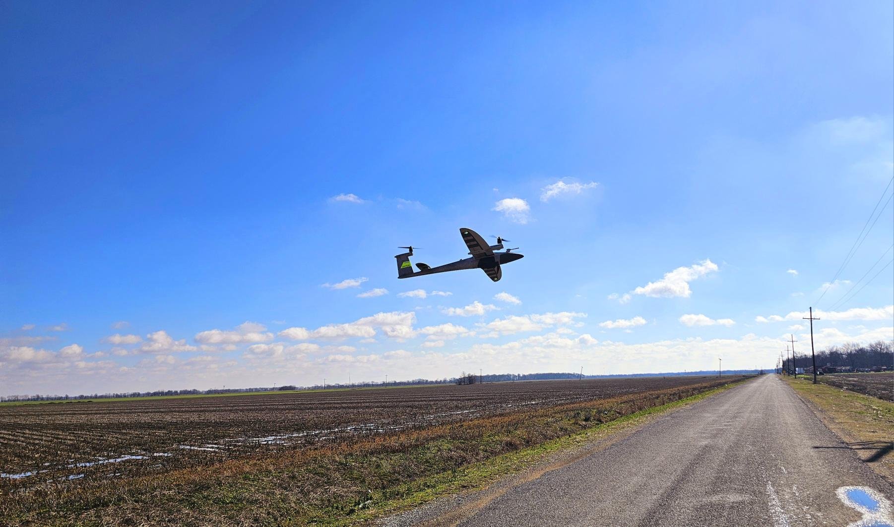
Aero Velocity Expands Fleet with the Quantum Systems Trinity Pro
Aero Velocity Expands Fleet with the Quantum Systems Trinity Pro

Aerial Crop Imaging Benefits: How Drone Technology Enhances Agriculture
Aerial Crop Imaging Benefits: How Drone Technology Enhances Agriculture