In this episode of Drone On, we sit down with Doug Heidenreich, Aerial Geomatics Coordinator at the Indiana Department of Transportation (INDOT), to explore how drones are revolutionizing transportation planning, infrastructure management, and safety. Doug shares insights on:
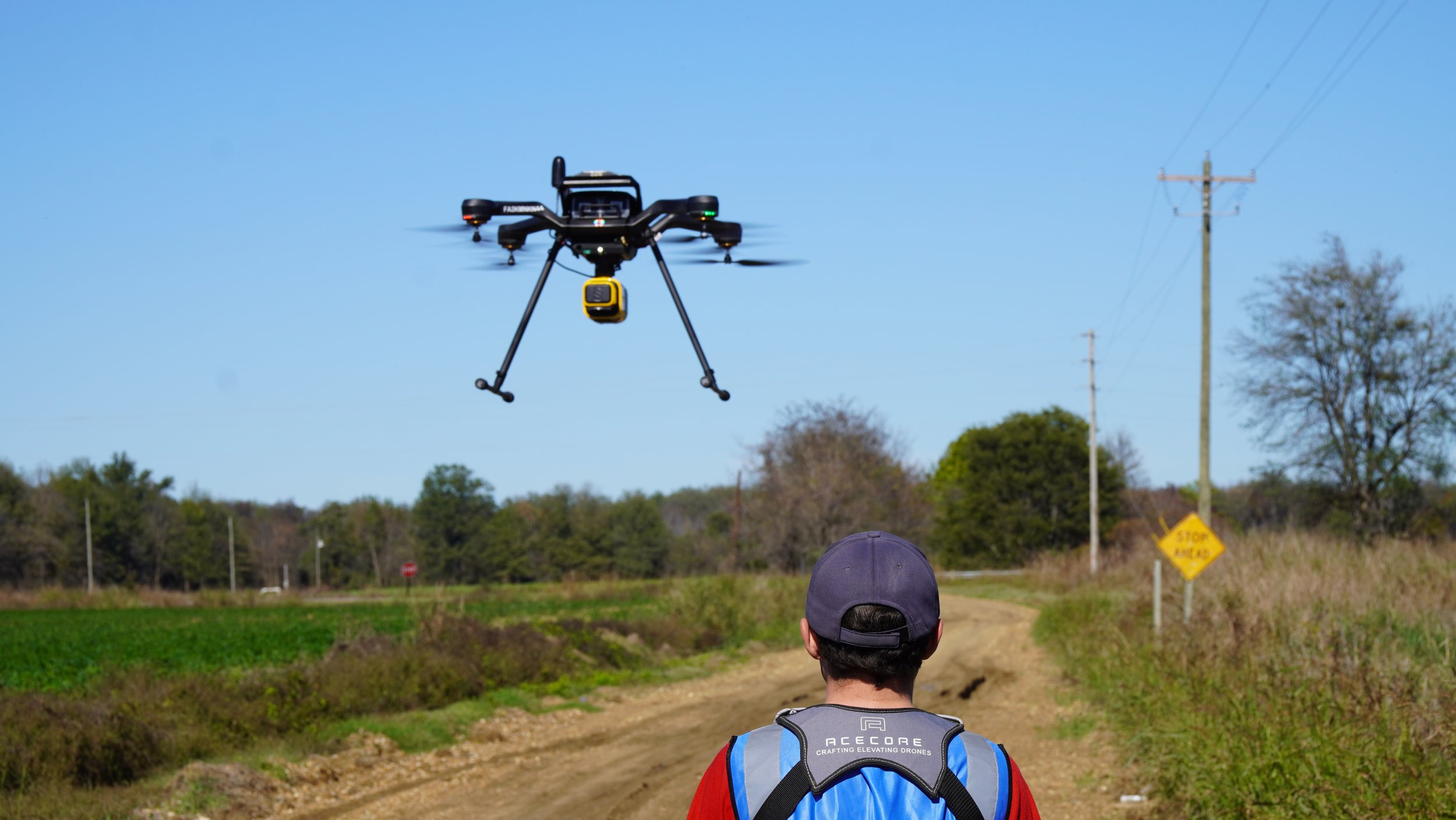
🔵 How INDOT uses drones for surveying and mapping
🔵 The role of LiDAR and photogrammetry in road design and maintenance
🔵 Challenges of operating drones over roads and in restricted airspace
🔵 The future of fixed-wing drones and BVLOS operations
🔵 How state agencies are collaborating with the next generation of drone pilots
We also discuss how Aero Velocity is working with government agencies like the USDA and US Forest Service to apply similar drone technologies for environmental conservation, watershed scanning, and precision agriculture. With a focus on NDAA-compliant aircraft and cutting-edge sensors, Aero Velocity is at the forefront of research-grade aerial data collection.
Plus, we discuss the Smart Grant initiative, INDOT’s high school drone training programs, and the growing impact of AI and automation in aerial surveying.
🎧 Don’t miss this deep dive into the evolving role of drones in public infrastructure!
🔔 Like, comment, and subscribe for more drone industry insights!
www.AeroVelocity.com
#Drones #AerialSurvey #Infrastructure #LiDAR #DroneTechnology #DroneOnPodcast #IndianaDOT #BVLOS #AI #TransportationTech