
Unlocking the Mysteries of Montane Bogs: NewWave and Aero Velocity's Partnership with the US Forest Service
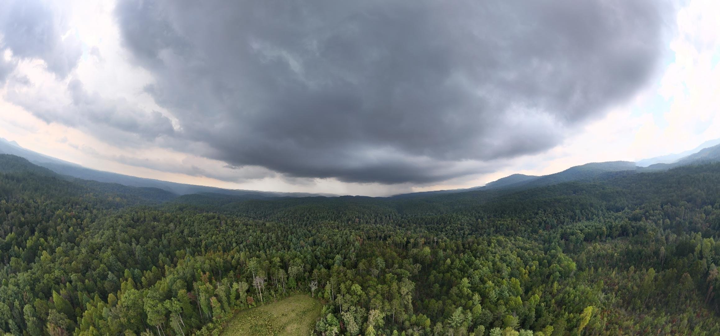
Panoramic picture captured by Aero Velocity pilot, Seth Allen, during Montane Bog mission.
Montane bogs, with their unique ecosystems and vital contributions to biodiversity and water management, have long intrigued scientists and conservationists. Yet, their remote locations and sensitive environments pose significant challenges for traditional surveying methods. Recognizing the need for innovative approaches, NewWave (a Business Services company specializing in data management and IT solutions) in partnership with Aero Velocity has joined forces with the US Forest Service to deploy advanced drone technology, revolutionizing how these critical habitats are studied and preserved.
The Importance of Montane Bogs
Montane bogs are wetland ecosystems typically found in high-altitude regions. These habitats serve as carbon sinks, regulate water flow, and support a diverse array of plant and animal species, some of which are found nowhere else on Earth. Despite their ecological significance, montane bogs are under threat from climate change, land-use changes, and invasive species. Accurate, comprehensive data is essential for developing conservation strategies, and this is where Aero Velocity’s drone expertise comes into play.
Harnessing Drone Technology for Conservation
Aero Velocity, a drone services company that leverages state-of-the-art drones equipped with LiDAR (Light Detection and Ranging) and multispectral imaging systems. These tools provide high-resolution, three-dimensional maps and detailed spectral data, enabling researchers to gain insights into the physical and biological characteristics of montane bogs. By integrating these technologies, the partnership addresses several key challenges:
Accessibility: Montane bogs are often located in rugged, hard-to-reach areas. Drones eliminate the need for invasive and resource-intensive ground surveys.
Precision: LiDAR delivers accurate elevation models, allowing for the identification of subtle topographical features crucial for understanding bog hydrology.
Ecological Insights: Multispectral imaging captures data across various wavelengths, revealing vegetation health, species composition, and signs of environmental stress.
Efficiency: Drone technology saves time and overall labor effort when compared to conventional methods of examining bogs.
Real-World Applications
During recent missions, Aero Velocity’s drones have provided the US Forest Service with invaluable data on the structure and condition of montane bogs. The maps and reports generated have been instrumental in:
Identifying areas vulnerable to erosion and habitat degradation.
Monitoring the effectiveness of ongoing restoration efforts.
Guiding resource allocation for conservation initiatives.
One specific project involved scanning a bog located in a protected forest area. By combining LiDAR data with multispectral imaging, Aero Velocity and NewWave can identify patterns in water distribution and vegetation health, offering actionable insights for the Forest Service’s management plans.
Pioneering a Sustainable Future
The collaboration between NewWave, Aero Velocity, and the US Forest Service exemplifies how cutting-edge technology can drive meaningful environmental change. By providing accurate, non-invasive data, Aero Velocity not only helps safeguard montane bogs but also sets a precedent for using drone technology in ecological research.
As climate change continues to challenge ecosystems worldwide, partnerships like this highlight the importance of innovation in conservation. Aero Velocity remains committed to advancing drone-based solutions that empower organizations to protect and restore our planet’s most vital habitats.
Looking Ahead
The work with the US Forest Service is just one example of Aero Velocity’s broader mission to unlock the potential of aerial data for environmental and agricultural applications. Whether it’s mapping montane bogs, supporting precision agriculture, or aiding in disaster response, Aero Velocity is at the forefront of the drone revolution, delivering insights that matter.
Together, we’re shaping a future where technology and nature can work together, ensuring that critical ecosystems like montane bogs thrive for generations to come.
