
The Benefits of Lidar and Multispectral Data for Agriculture
As the agriculture industry continues to evolve, advanced drone technology is transforming the way farmers manage their crops and land. At Aero Velocity, we specialize in drone services that harness the power of Lidar and multispectral sensors to provide actionable insights for precision farming. In this blog, we’ll explore how Lidar mapping and multispectral data are revolutionizing agriculture and driving sustainable farming practices.
1. Precision Crop Monitoring with Multispectral Sensors
At Aero Velocity, our multispectral drone technology offers farmers a comprehensive way to monitor crop health. Unlike traditional imagery, multispectral sensors capture multiple wavelengths of light, including near-infrared, which helps detect early signs of stress in crops—often before they’re visible to the naked eye.
Using multispectral data from Aero Velocity’s drones, farmers can:
Detect nutrient deficiencies early.
Identify potential pest or disease outbreaks.
Optimize irrigation strategies.
Predict crop yields with greater accuracy.
For example, Aero Velocity is currently working with the NRCS and Minority Farmers of the South to provide socially disadvantaged farmers in Mississippi and Arkansas with drone acquired data. By providing these farmers with high-resolution LiDAR and multispectral imaging data, we are helping them optimize their irrigation practices to conserve water and improve crop yields, contributing to more sustainable and profitable farming operations.
2. Efficient Land Mapping and Terrain Analysis Using Lidar
Lidar technology is a game-changer for terrain analysis, providing farmers with highly accurate topographical data. Aero Velocity’s Lidar-equipped drones generate detailed 3D maps that highlight elevation changes, drainage issues, and vegetation density—critical for effective farm management.
For instance, in Mississippi, we use LiDAR data to create reports that detail elevation and suggest irrigation placements based on terrain. These reports help farmers apply precision irrigation techniques, improving water distribution and reducing runoff. By providing data-driven recommendations, we assist farmers with synthetic precision leveling, ensuring their fields are optimally prepared for water flow.
3. Optimized Irrigation and Water Management
By combining Lidar terrain data with multispectral analysis, Aero Velocity provides farmers with the tools they need for smarter irrigation management. Knowing exactly where water stress occurs and how the land’s topography affects water flow allows farmers to fine-tune irrigation systems and prevent overwatering or underwatering.
In our work with farmers in Mississippi and Arkansas, we have used this combined data to recommend precision irrigation systems tailored to the unique characteristics of each field. This data-driven approach not only conserves water but also ensures crops receive the precise amount of hydration needed to thrive, leading to healthier yields.
4. Supporting Sustainable Agriculture
As the demand for sustainable farming practices grows, Aero Velocity’s drone services offer a vital solution. By leveraging Lidar mapping and multispectral data, farmers can minimize chemical usage and reduce their environmental footprint. With precise data on soil health, plant stress, and terrain, farmers can make environmentally conscious decisions that reduce waste, protect water sources, and promote long-term farm sustainability.
For socially disadvantaged farmers, such as those in Mississippi and Arkansas, access to this technology levels the playing field, offering them the tools needed to adopt modern, sustainable farming techniques.
5. Improved Farm Planning and Land Use
For large agricultural operations, accurate land use planning is key to maximizing efficiency. Aero Velocity’s Lidar drone services provide highly detailed 3D models of your land, making it easier to plan expansions, design drainage systems, and optimize planting patterns. This enables long-term, data-driven farm management that improves productivity while minimizing environmental impact.
We provide NRCS with detailed raw data, example reports, and final reports, showcasing the versatility of the collected data. By demonstrating the broad applications of these services, we are helping secure future support for precision farming initiatives.
6. Data-Driven Farming for Better Decision-Making
With Aero Velocity’s precision drone data, farmers can make informed decisions based on real-time information. Instead of relying on guesswork, you can use Lidar and multispectral data to:
Allocate resources efficiently.
Minimize costs by targeting specific problem areas.
Maximize crop yields with precise, actionable insights.
This data-driven approach leads to higher profitability and more efficient farm management.
7. Scalable Solutions for Farms of Any Size
Whether you're managing a small farm or a large-scale operation, Aero Velocity’s drone solutions are scalable to meet your specific needs. Our Lidar and multispectral services can be customized to match the unique characteristics of your land, ensuring precision farming is accessible and beneficial to all.
Conclusion
The adoption of Lidar and multispectral drone technology in agriculture is revolutionizing crop management and land use. At Aero Velocity, we are committed to providing the tools and expertise farmers need to make smarter, data-driven decisions. Whether you’re looking to improve crop health, optimize irrigation, or enhance sustainability, our drone services can help you achieve your goals.
Contact Aero Velocity today to learn how our advanced Lidar and multispectral data services can transform your farming operation, just as we’ve done for farmers in Mississippi and Arkansas.
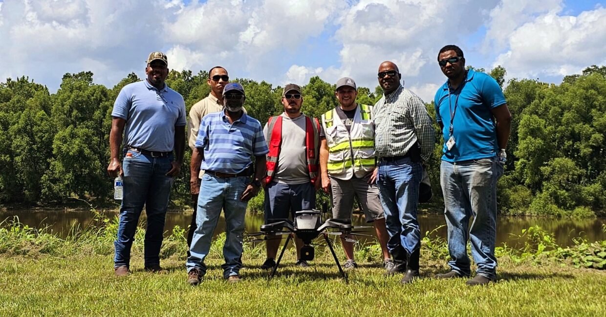
Seth and PJ with members of the NRCS