Drone Service Solutions
Built for your unique project needs
Lower Costs.
Faster Results.
Safer Operations.
Propelling Progress
Service Offerings
Industries We Serve
Commercial Services
-
Drone-based exterior cleaning for tanks, buildings, and structures without lifts, scaffolding, or shutdown.
-
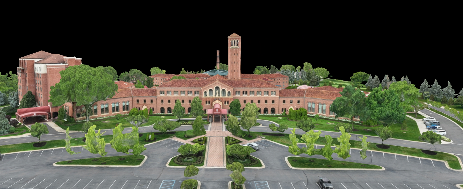
3D digital twins, LiDAR scans, and visual walkthroughs of your facility so you can plan, budget, and prove compliance.
-
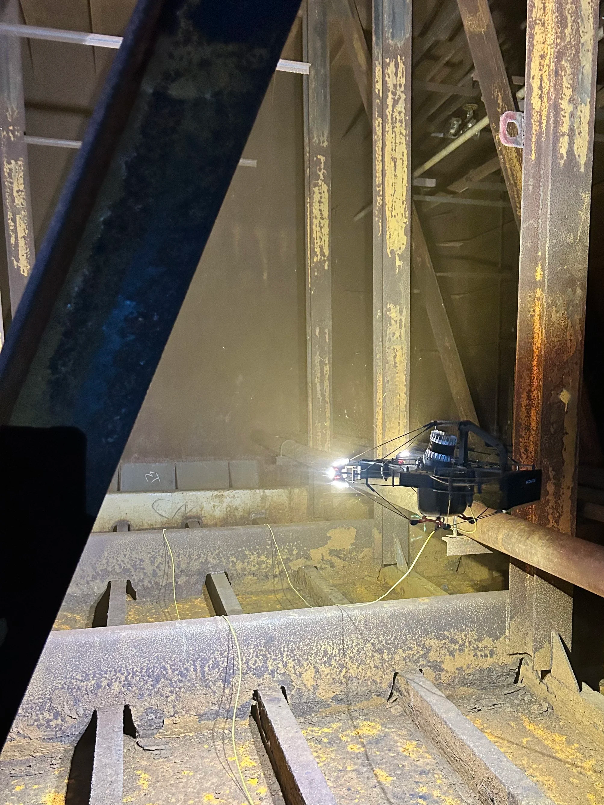
Internal tank inspection and condition reporting — no human entry, no confined space permits
-
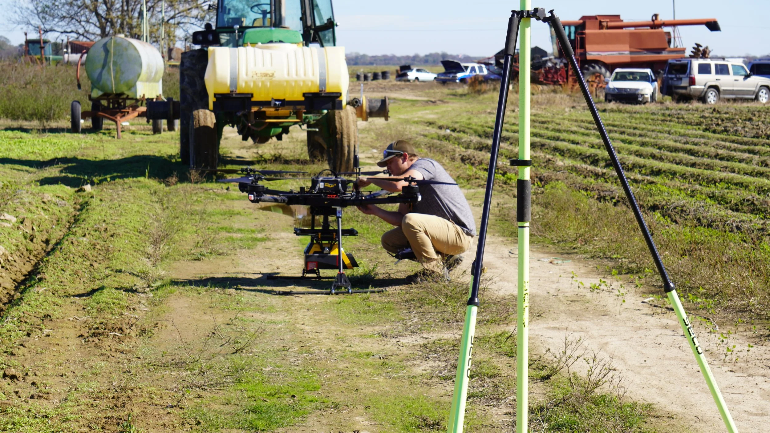
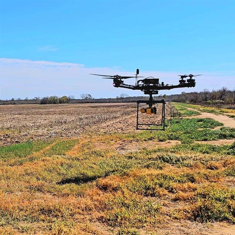
LiDAR & multispectral mapping.
Large-area mapping, post-event assessment, volumetrics, and multispectral analysis for land, levees, corridors, and sites. -
Thermal and OGI leak detection to identify heat loss, gas leaks, and safety hazards before they become fines or shutdowns.
Governmental Services
-
Drone-based exterior cleaning for tanks, buildings, and structures without lifts, scaffolding, or shutdown.
-
3D digital twins, LiDAR scans, and visual walkthroughs of your facility so you can plan, budget, and prove compliance.
-
Internal tank inspection and condition reporting — no human entry, no confined space permits
-
LiDAR & multispectral mapping.
Large-area mapping, post-event assessment, volumetrics, and multispectral analysis for land, levees, corridors, and sites. -
Thermal and OGI leak detection to identify heat loss, gas leaks, and safety hazards before they become fines or shutdowns.
OEM Manufacturing
-
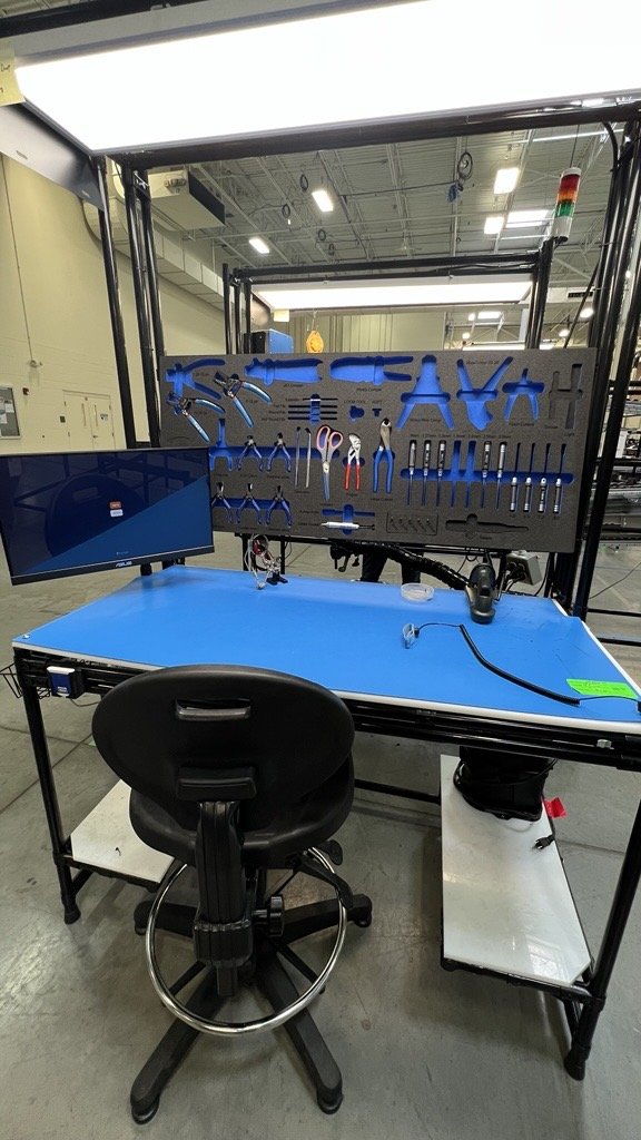
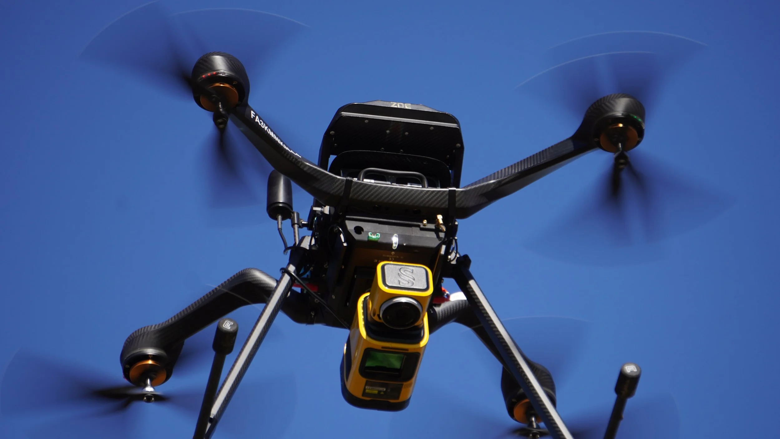
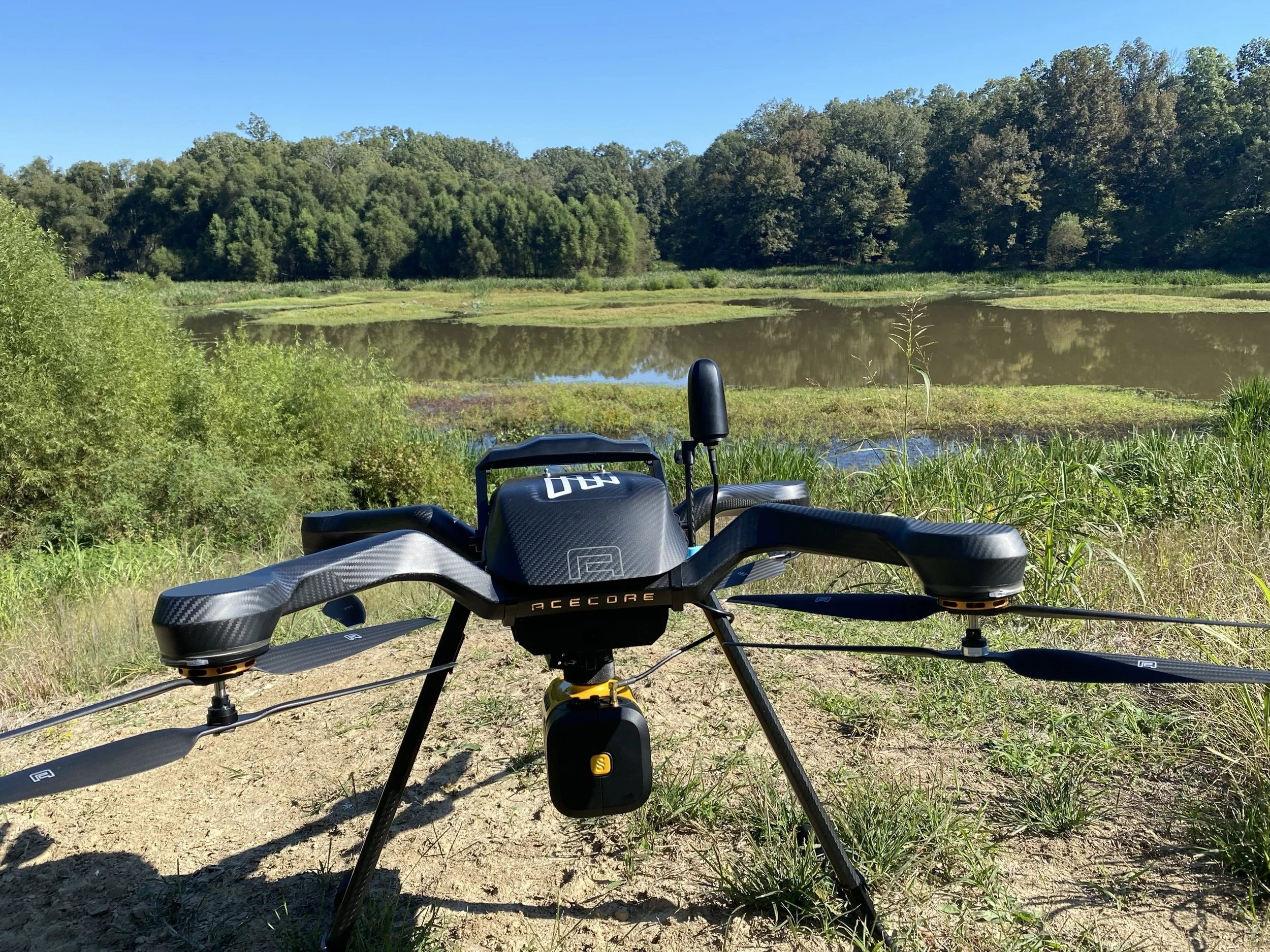
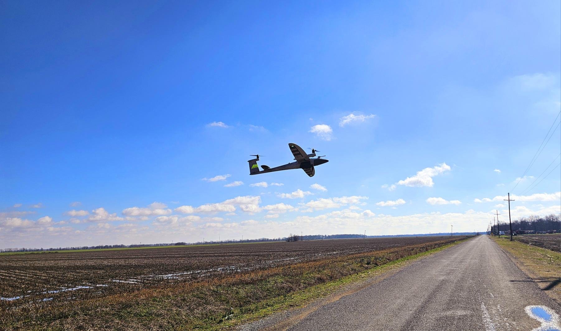
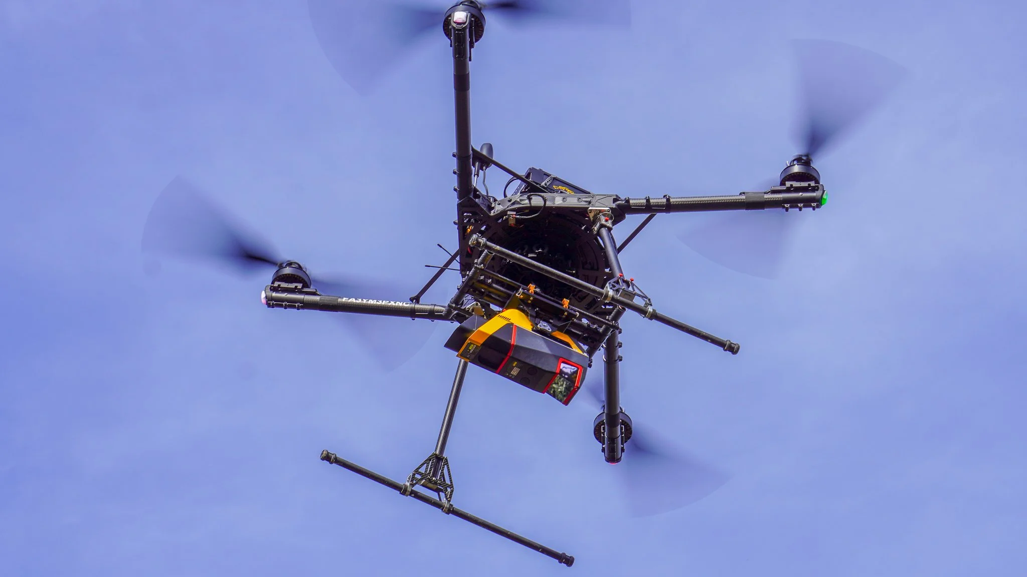
Aero Velocity designs and builds turnkey UAV platforms and payloads customized to your mission. From airframes and powertrains to LiDAR, thermal, and optical payload integration, we engineer systems that meet your performance, durability, and compliance requirements out of the box. You bring the market use case, we deliver a production-ready, field-tested solution with documentation, training, and ongoing support.
-
Turn Aero Velocity’s proven platforms into your branded product line. We offer white-label and co-branded manufacturing programs that include hardware, QC, firmware configuration, and packaging aligned to your brand standards. Our team supports you with scalable production runs, service documentation, and training so you can focus on sales, channel growth, and customer success while we handle the build.
Innovators in Drone Manufacturing and Maintenance
Contract Manufacturing
Warranty
Maintenance and Repair
Proud Member of the
AeroShield Alliance
The Alliance is a collaboration of trusted small businesses with complementary expertise in advanced technology, unmanned systems, ISR operations and workforce development.


